tl/dr: click here to go straight to the map
A few months ago, I started to read Frank McDonald’s “The Destruction of Dublin”, and got completely and utterly lost. I could tell the book was interesting and one I wanted to read, but I just couldn’t follow in my head all of the streets and building names being discussed. Any illusions about knowing my way around the streets of Dublin were quickly wiped out.
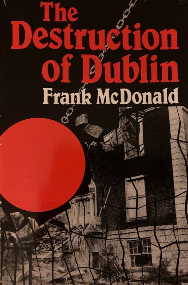
Unfortunately, while there are some nice photos in the book, there’s no map. So I set out to make one.
This was a fairly painstaking process of going through the book, page by page, and stopping each time a new building or development was discussed. From there, I’d work out where in Dublin it was located. For some of these, the building was either iconic enough that I knew it anyway (Busáras, Liberty Hall), or the location was given explicitly (a specific street address or at the corner of two streets). However, others were much more vague in their location and it took some investigating on Google Street View, OSi historic maps, and digging into the physical descriptions of the building to find the right one. A couple, such as an office development on Mount Street Lower, I just couldn’t figure out at all. And finally, a few just don’t exist anymore (like this one on Chatham Street).
From there I added as much info as I could, such as the year built (or demolished), who the architect was, why it was noteworthy, and a link to further info if I could find one and it seemed relevant or interesting (big shout out to Archiseek and Built Dublin here, two really interesting and useful blogs on Dublin architecture that were really helpful to browse. I’ve linked to them a few times in the map where I got some more info from them).
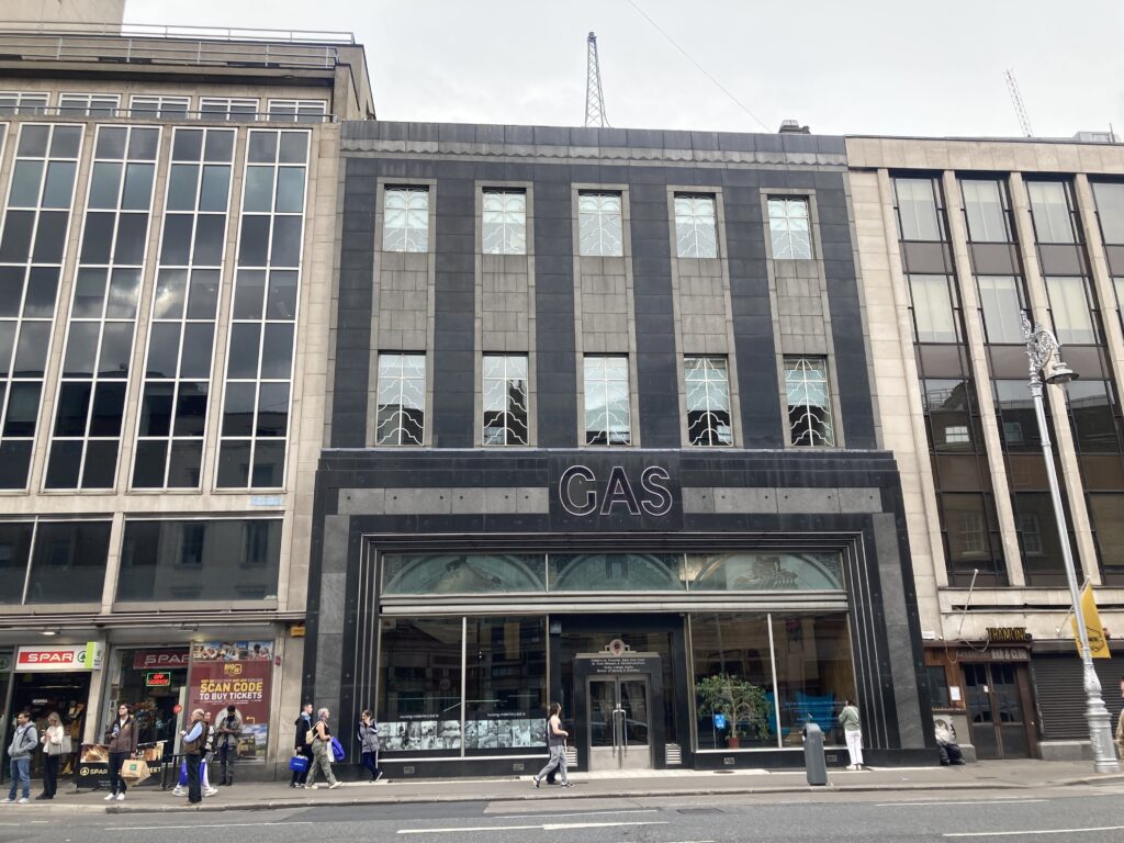
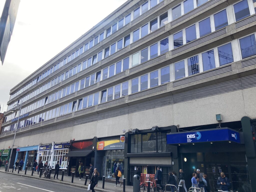
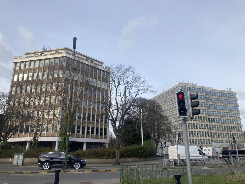
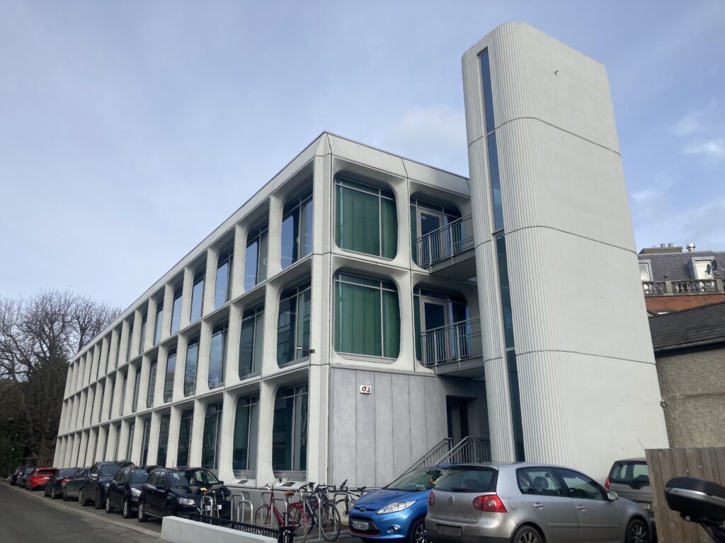
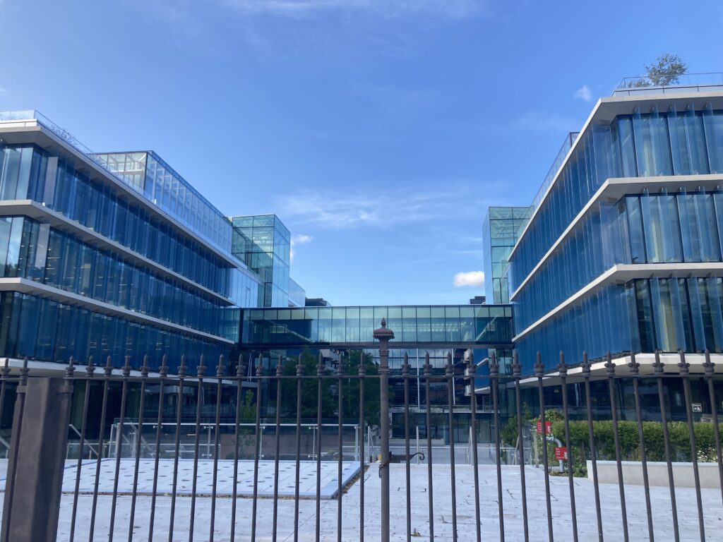
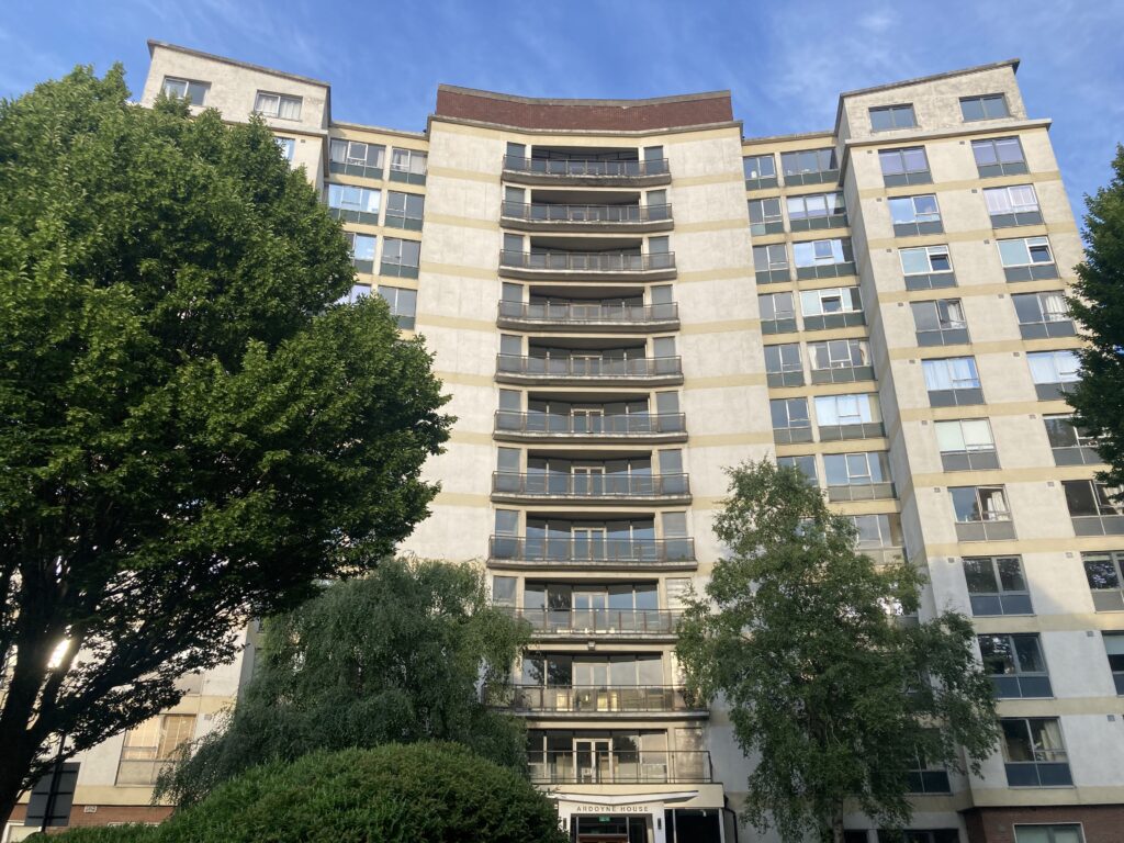
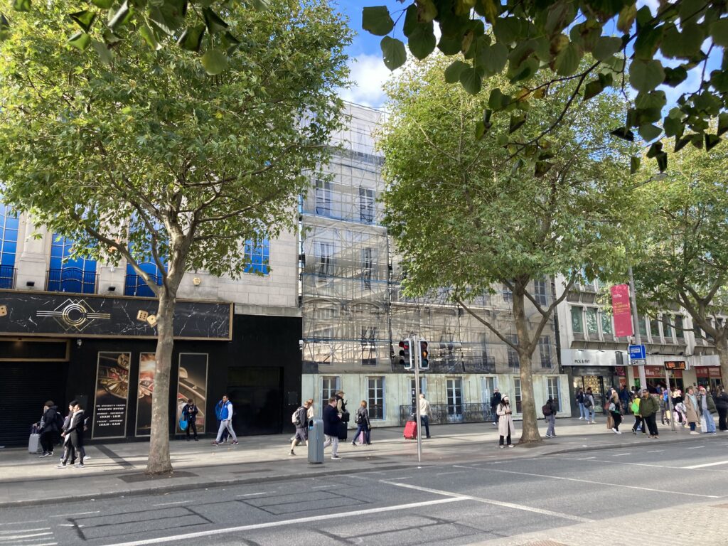
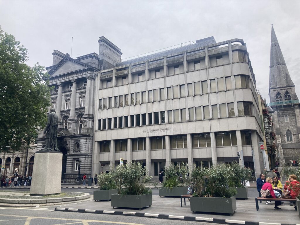
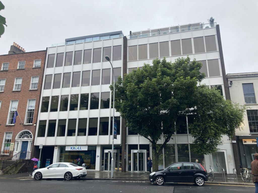
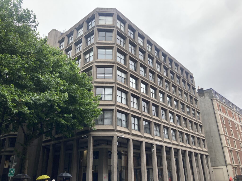
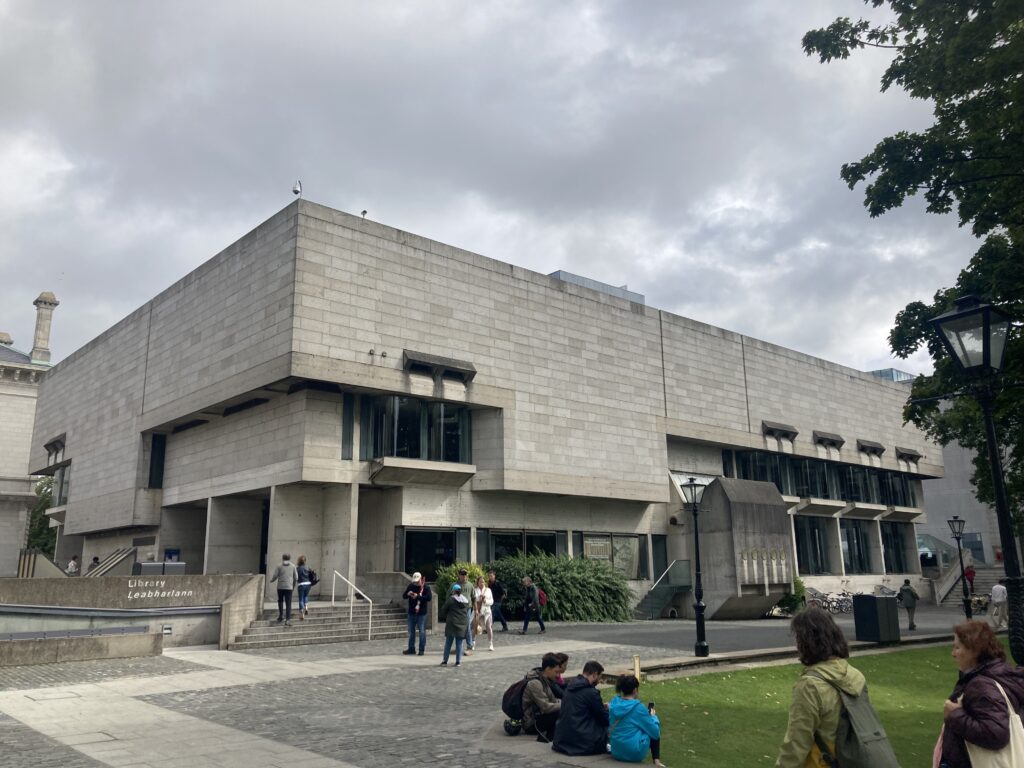
The process of actually going through the book and checking the locations of each building took a couple of months, working on and off at it. Once that was done, I decided I wanted a photo of each building to accompany the map. These photo walks I went on were actually really interesting, and I paid attention to parts of Dublin I had previously just breezed past.
Except for a few issues with the qgis2web plugin I used to build the webmap, it all came together pretty nicely after that. The main layer just shows all 150-ish buildings I was able to map, along with a photo (bar a few exceptions that I just haven’t gotten around to, but I plan on it), the architect where possible, and a few other pieces of info. I’ve also added a layer for each chapter of the book. I haven’t read the book since, and I’m not sure how many people would even be reading an out-of-print book on Dublin architecture from the 80s these days, but I like to think it makes it a bit more navigable. If not, I hope it’s at least a helpful resource for anyone interested in architecture in Dublin. Perhaps I’ll expand it beyond the book at some stage.
The map can be found here, hosted on GitHub: https://conoronmaps.github.io/DestructionofDublin/
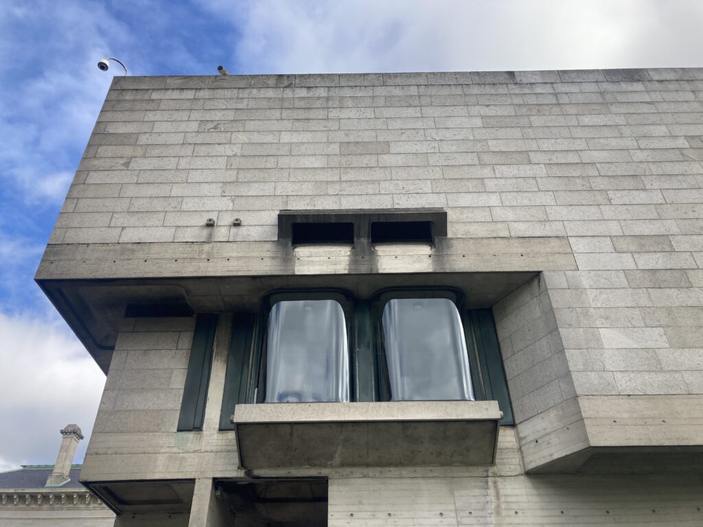
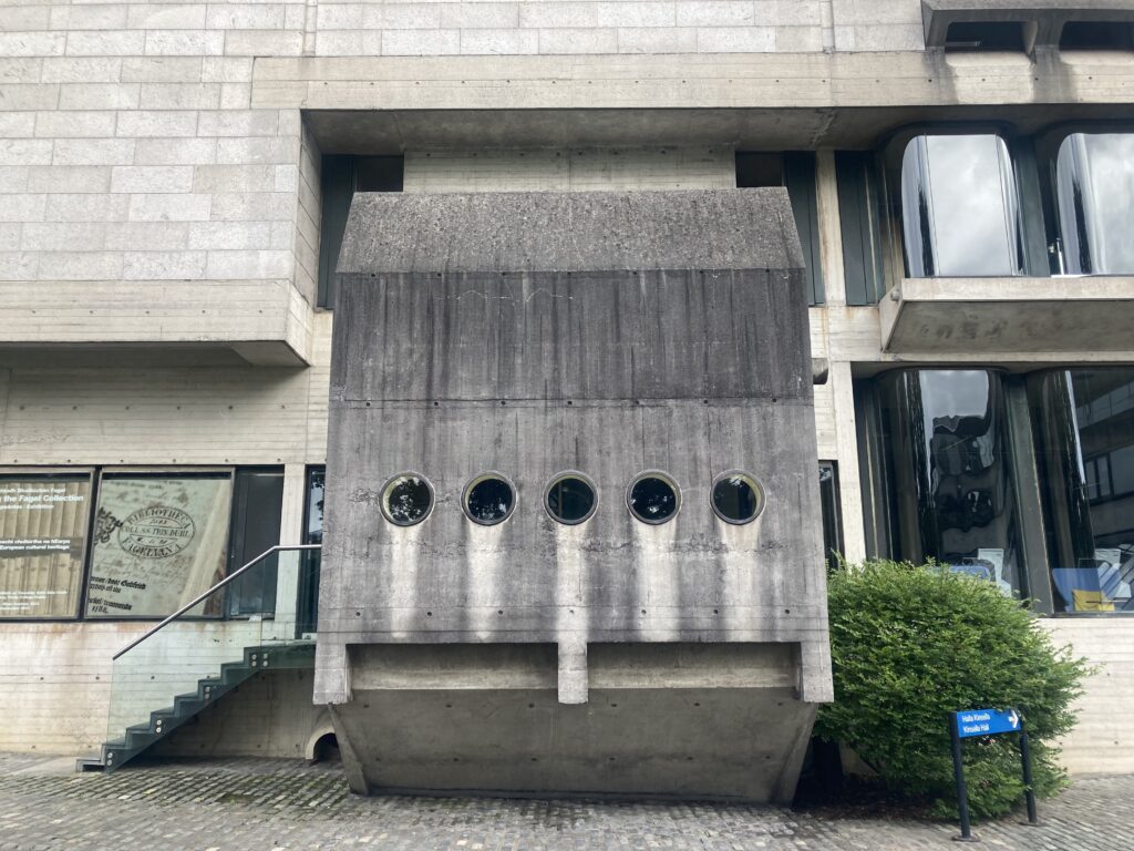
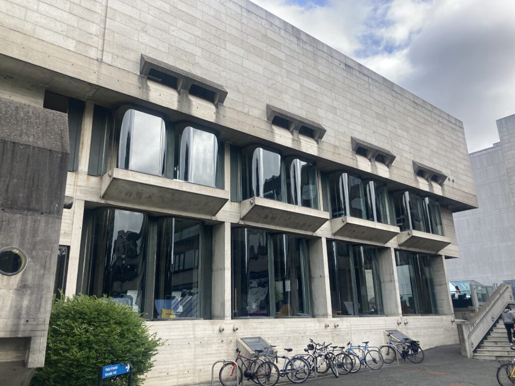
I’ve also put all of the photos I took onto Wikimedia Commons, so they’re free to use if at all needed. I plan on actually organising these at some stage, but for the moment they’re just dumped here. I’ll leave it with some of the more interesting discoveries I made along the way.
Leave a Reply