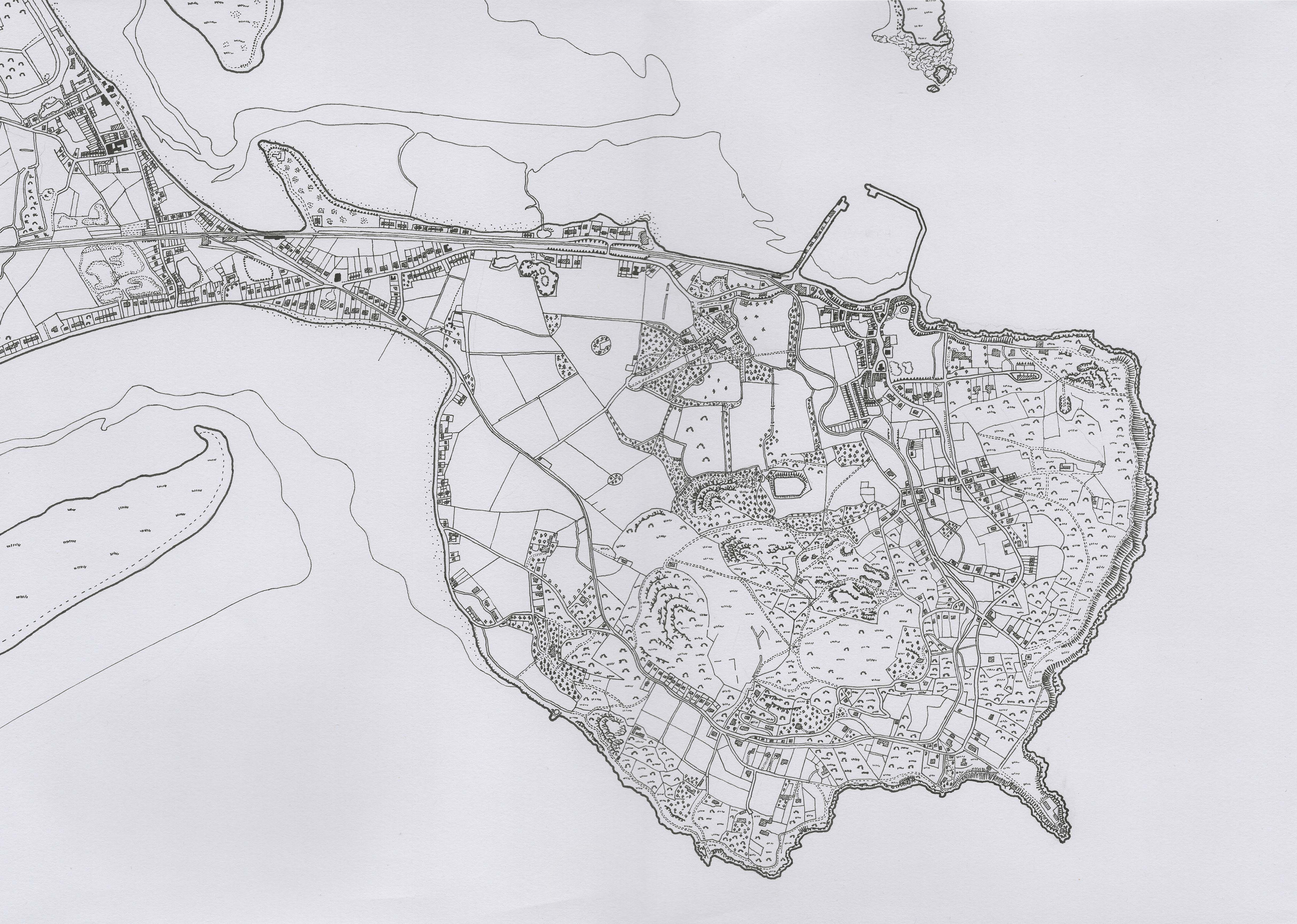
Drawn on an A3 sheet with Pitt Artist Pens from Faber-Castell, I drew this map during one of the first Covid lockdowns. It is a recreation of the Ordnance Survey’s 6 inch map showing Howth Head.
Drawn on an A3 sheet with Pitt Artist Pens from Faber-Castell, I drew this map during one of the first Covid lockdowns. It is a recreation of the Ordnance Survey’s 6 inch map showing Howth Head.
by
Tags:
[…] the map symbology in the style of the Ordnance Survey’s 6 inch maps of Ireland (such as at Howth). I also took inspiration from some historical charts of Dublin Bay (there’s a great gallery […]
Leave a Reply