Tag: map
-

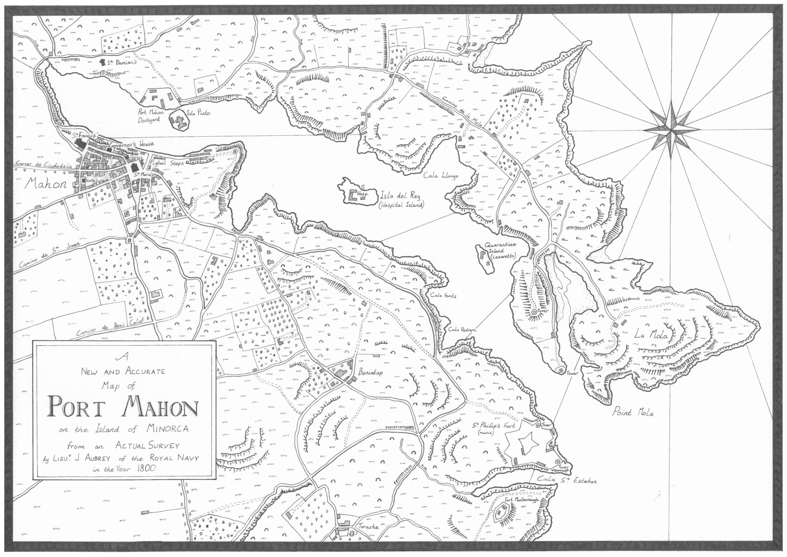
Which it’s a map of Aubrey-Maturin’s Port Mahon
Master and Commander, the first of Patrick O’Brian’s epic series of naval fiction featuring Jack Aubrey, a Royal Navy Officer, and Stephen Maturin, his friend, a naval surgeon and spy, starts off in Port Mahon in Menorca. Much of the first book is spent in and around Mahon, a British Naval Base at the time…
-

The Etymology and Age of Dublin’s Street Names Mapped
Click here to view the map November 2023 – I’ve updated my map of Dublin’s street names, making a few corrections and adding a good few more dates. The dates can be difficult, because I’ve been limiting myself almost entirely to historic maps of Dublin. However, getting into the OSI’s 25 inch (1907-ish) and 6…
-

Making “The Destruction of Dublin” a little more navigable
tl/dr: click here to go straight to the map A few months ago, I started to read Frank McDonald’s “The Destruction of Dublin”, and got completely and utterly lost. I could tell the book was interesting and one I wanted to read, but I just couldn’t follow in my head all of the streets and…
-

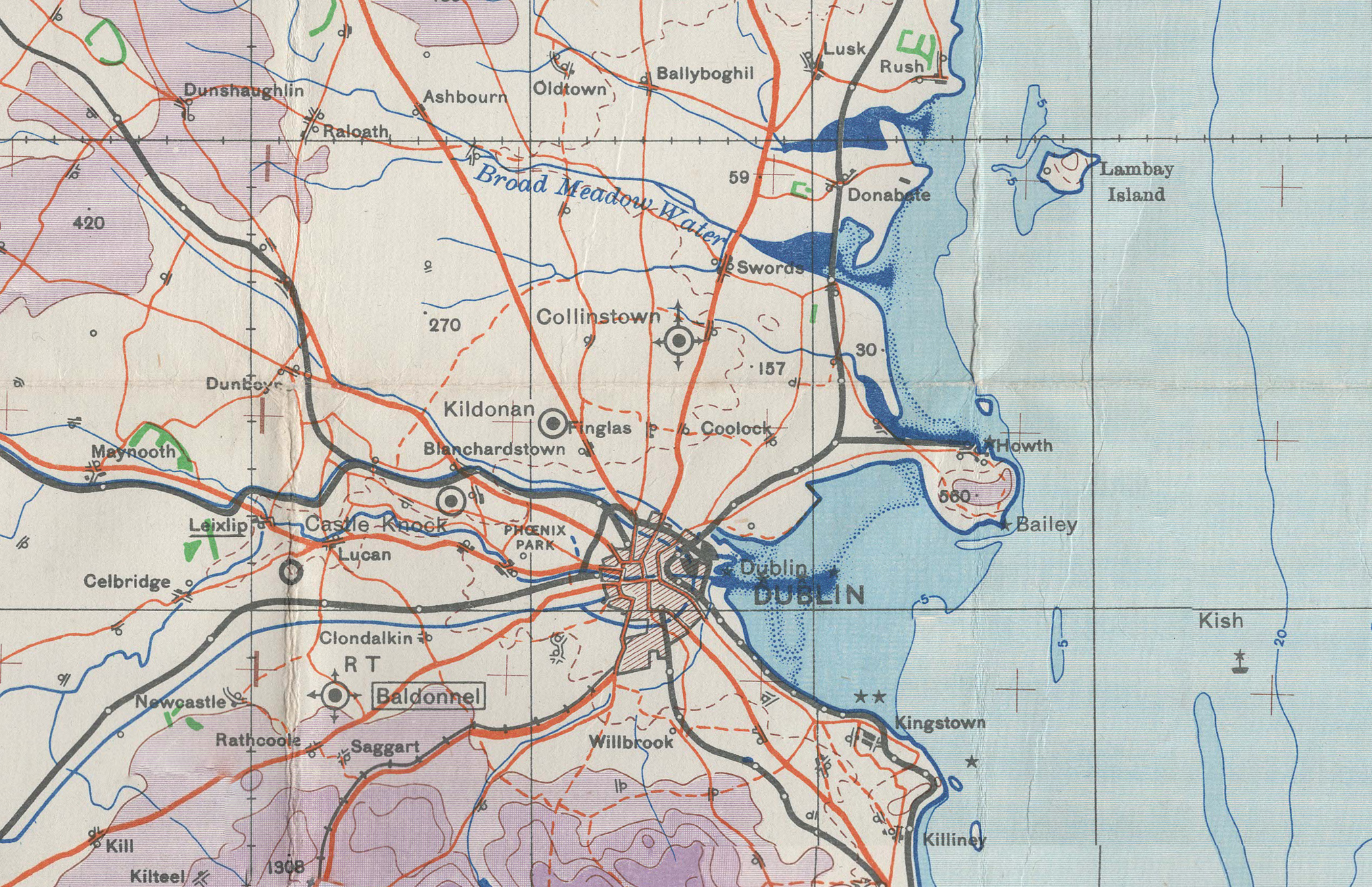
British War Office chart of Dublin, Ireland (printed 1941)
This is a large chart produced by the British War Office and Ordnance Survey in 1940, printed 1941, covering the area around Dublin. It shows a huge amount of information, including topography, rivers, towns, roads, railways, and airfields.