Tag: Mediterranean
-
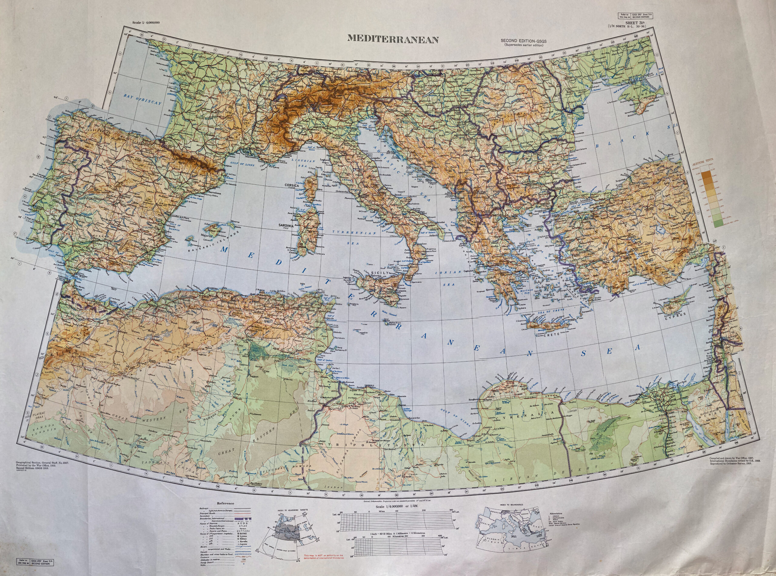
War Office map of the Mediterranean, 1937 (printed 1953)
British War Office map of the Mediterranean, dating from 1937, with revisions to international boundaries by the Ordnance Survey in the 1950s. I really like the colour schemes on this map, as well as the sections which go beyond the border (not sure if there’s a cartographical term for when this happens, but I like…