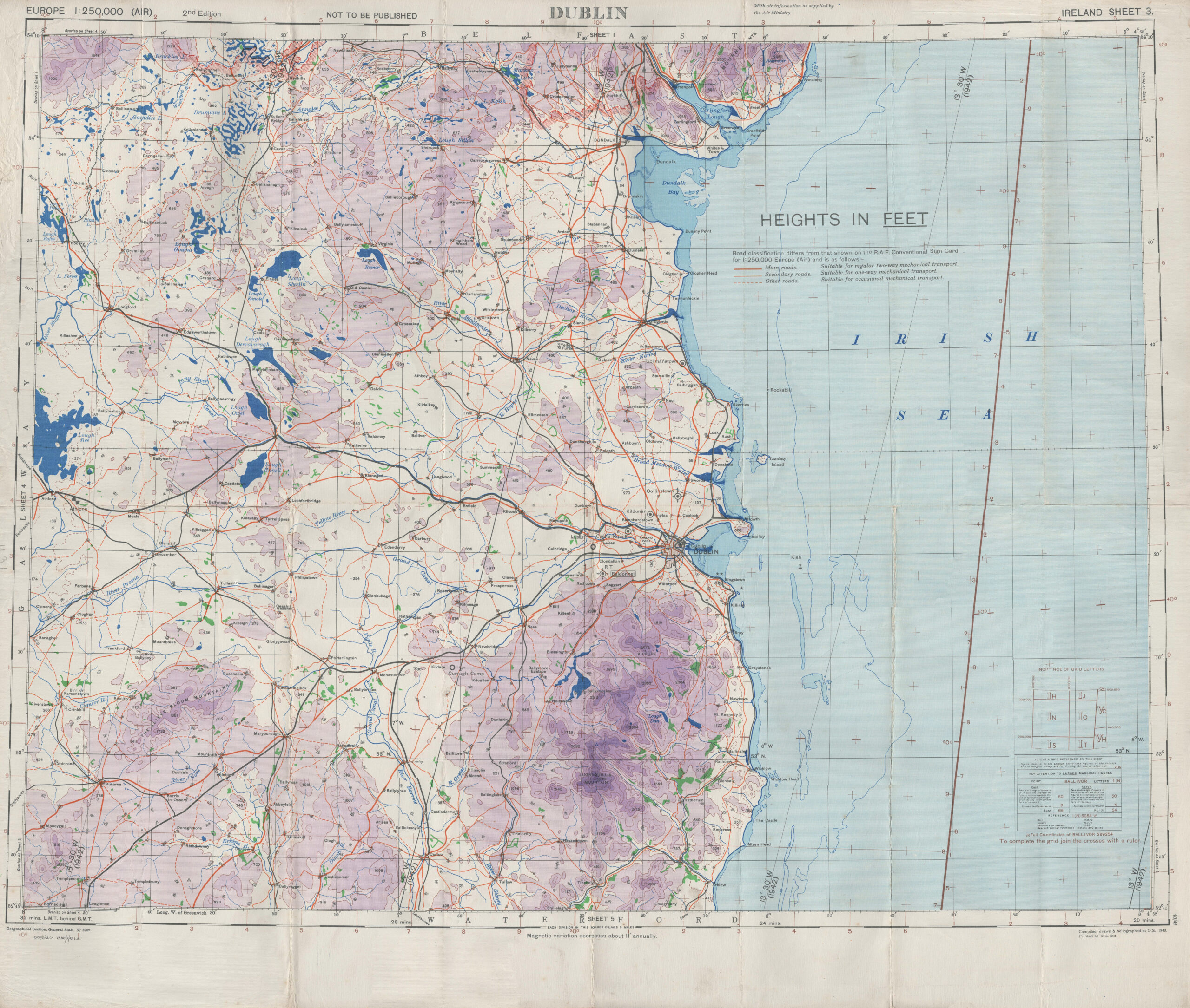
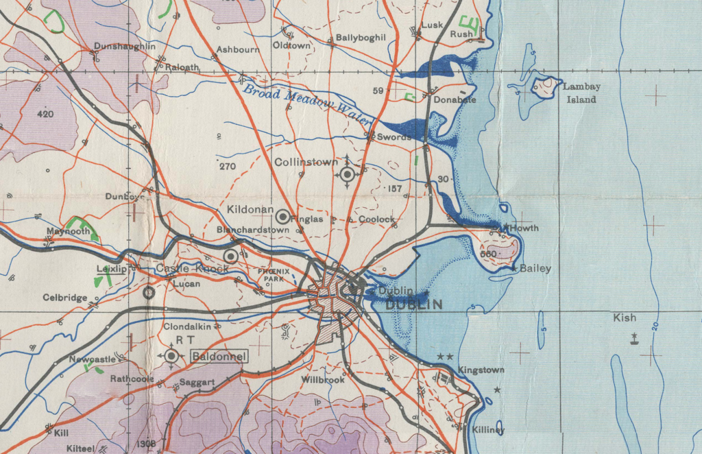
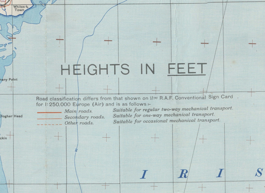
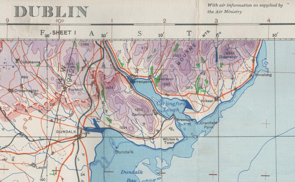
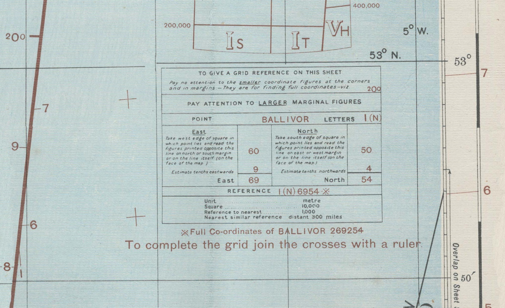
This is a large chart produced by the British War Office and Ordnance Survey in 1940, printed 1941, covering the area around Dublin. It shows a huge amount of information, including topography, rivers, towns, roads, railways, and airfields.
This is a large chart produced by the British War Office and Ordnance Survey in 1940, printed 1941, covering the area around Dublin. It shows a huge amount of information, including topography, rivers, towns, roads, railways, and airfields.
by
Leave a Reply