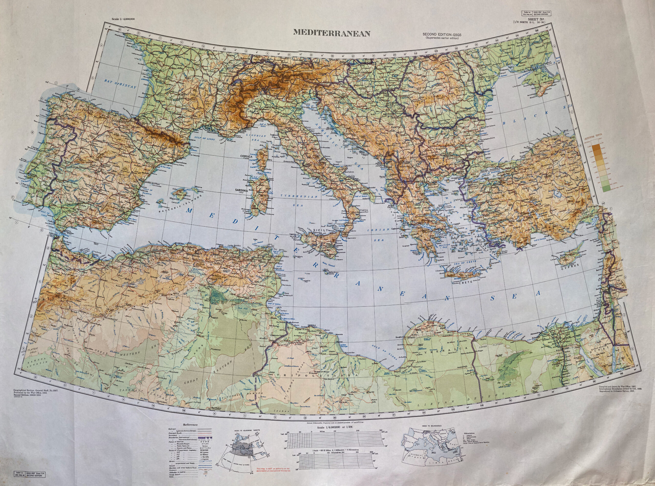
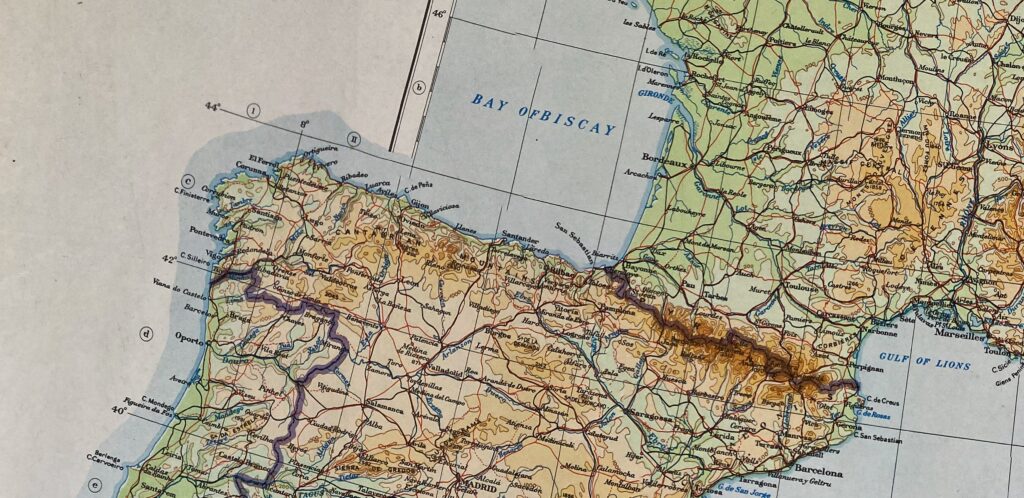
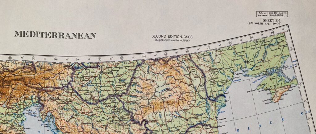
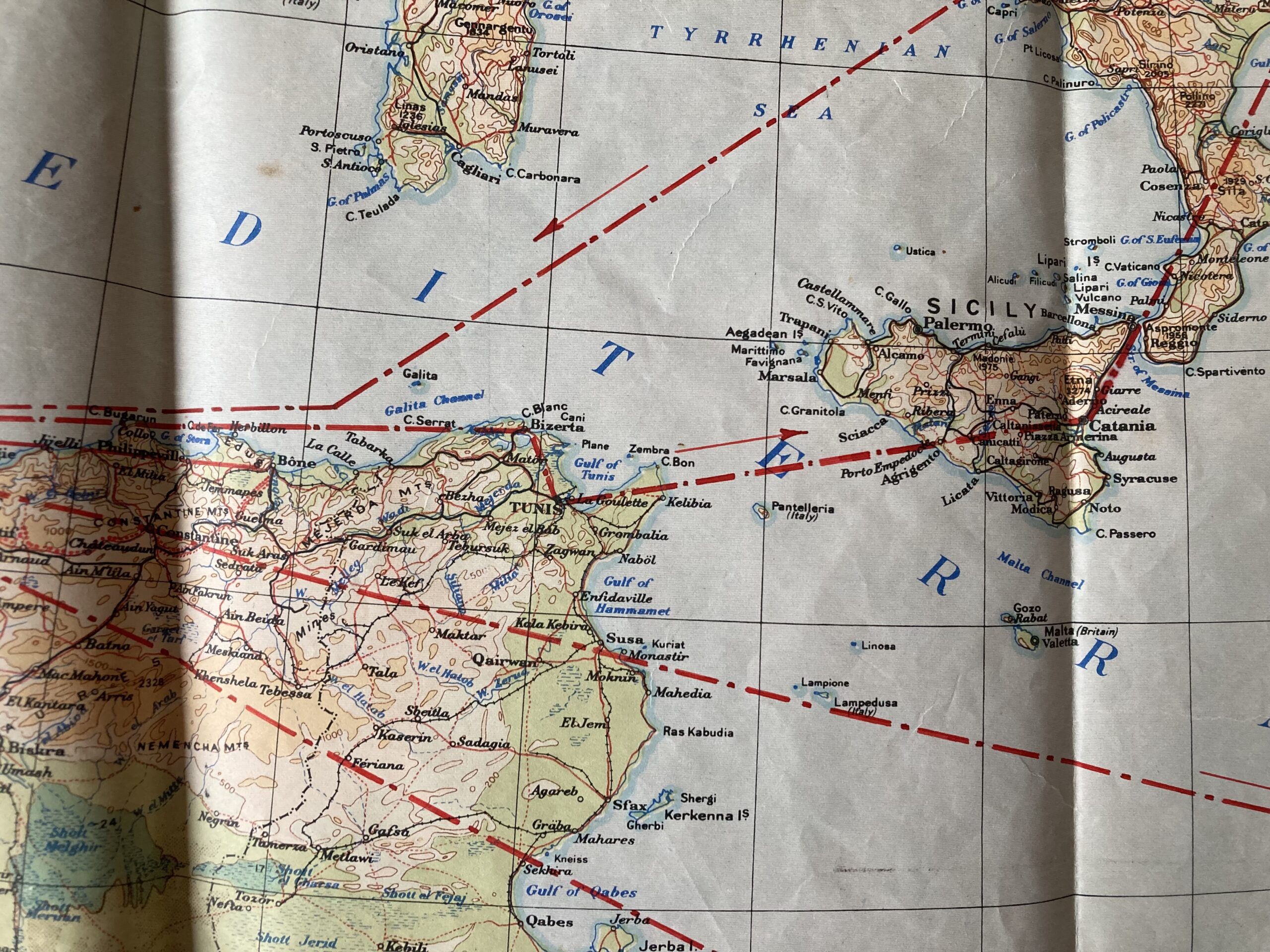
British War Office map of the Mediterranean, dating from 1937, with revisions to international boundaries by the Ordnance Survey in the 1950s. I really like the colour schemes on this map, as well as the sections which go beyond the border (not sure if there’s a cartographical term for when this happens, but I like it as a stylistic choice.
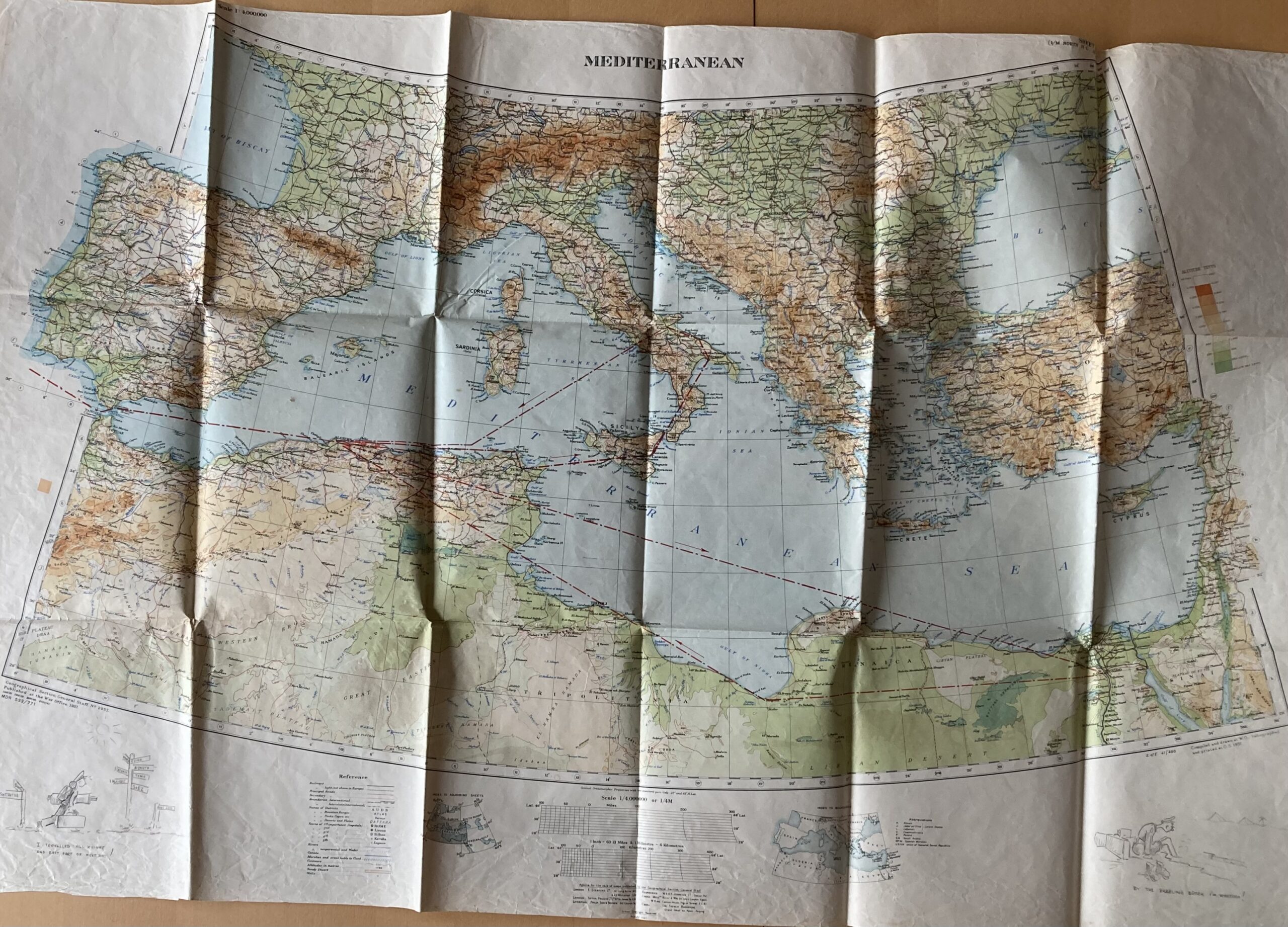
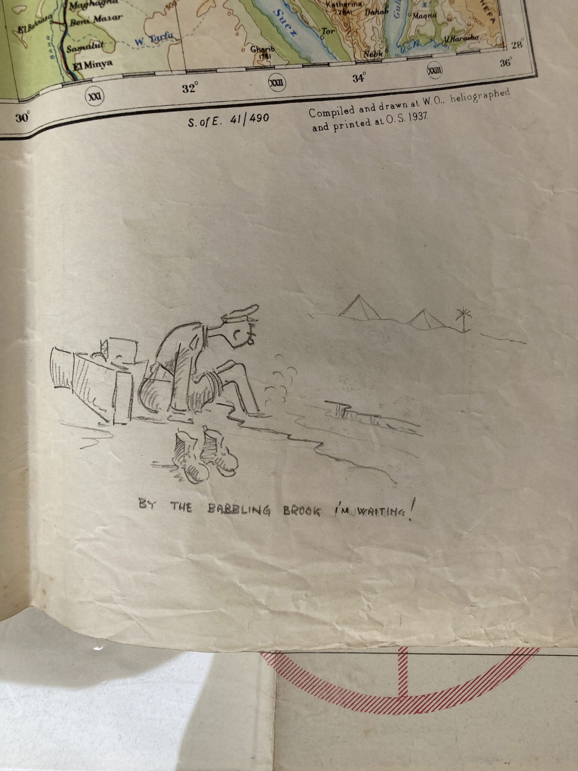
I actually own two versions of this map. The one above is a Second Edition which was printed in 1953. I also have an earlier one printed in 1937. The 1937 version isn’t in as good condition as the one above (it was folded, whereas the later one is rolled), but it has some pencil drawings on the bottom corners which are really interesting and tell a little bit about its history.
The same person also drew in red marker their “Journey around the Med”, with stops at the locations shown on the signpost in the bottom left drawing – they travelled all over, serving in Gibraltar, Algeria, Tunisia, Sicily, mainland Italy, Egypt. I think the pencil illustrations are fantastic, they’ve managed to cram a lot of character and emotion into such a small figure.
I would guess that a staff officer during WWII owned the map and added their own touches to it, to remember their time in the Mediterranean during the war. Unfortunately I bought this map on eBay and the seller didn’t know anything about it or where it came from, so I can only guess.

Leave a Reply